I will tell you now about the outside conditions expected for approximately the ensuing ten days
aka the Forecast.
New format: I am going to offer one single forecast for the entire greater Philadelphia region. If the forecast for Berks (or Lancaster, or Princeton, or Cape May), I will mention it. Otherwise, you can assume that the greater Philadelphia forecast applies to you as well.
Monday 2/25: windy as balls. Really gusty ones. High in the mid to upper 30s, but it'll feel like the 20s. (Gusts over 50mph at times, which whoa.) Low in the low to mid 20s. Sunny, though!
 Happy birthday on 2/25 to Herbert Manfred ("Zeppo Marx"), who is dead.
Tuesday 2/26: sunny and still breezy, but not as bad as Monday. High in the mid to upper 30s, low in the upper teens to low 20s. Like, a serious wintry day.
 Happy birthday on 2/26 to Tony Randall, who is dead.
Wednesday 2/27: becoming cloudier. Then overcast. A slight chance of afternoon snow showers, so much more likely is a dry, cloudy day. Temperatures steady in the low to mid 30s.
 Happy birthday on 2/27 to John Steinbeck, who is dead.
Thursday 2/28: since this is not a leap year, this will, in fact, be the last day of February. Expect clouds mixed with sun, and highs in the low 40s. A bit of snow developing overnight Thursday into Friday. Literally, it will span two months.
 Happy birthday on 2/28 to Frank Gehry, who was born on this day in 1929, and who is ... well, I'll be damned, he's alive and well. In fact, he is pictured above reacting to my assumption that he was dead.
Friday 3/1: overcast with highs in the upper 30s to near 40. Rain and drizzle, with wet snow and freezing rain more likely in Berks and areas north and west.
 Happy birthday on 3/1 to Roger Daltrey, who is still one of the most kick-ass rock singers ever and who is definitively not dead.
Saturday 3/2: overcast with rain and drizzle; temperatures could get into the upper 50s and even 60s. We could even see a thunderstorm! Shit ya not. (Stays a bit chiller up in Lehigh Valley and Berks: highs in the upper 40s, but still rain and drizzle.) Then becoming much colder and very windy at night.
 Happy birthday on 3/2 to Laraine Newman, because I haven't had a woman on here yet, and what the shit is that about. Oh, and she is not dead.
Sunday 3/3: sunny and windy with highs only getting up to the mid 30s. (That's barely above freezing, which is 32°F.
 Happy birthday on 3/3 to Ruby Dandridge, who is dead.
Monday 3/4: snow, mark it down. Or maybe not. But it looks pretty likely.
 Happy birthday on 3/4 to Patsy Kensit, who is not dead. I admit it: I did not think this through, the whole birthday shout-out thing. I mean, I've done eight now, and I have two more to go. Nothing to do now but just see it through.
Tuesday 3/5: morning snow, then clearing. I'm serious! For reals.
 Happy birthday on 3/5 to Marsha Warfield, who is not dead. And yes, I am going to have five women in a row to balance out the five men in a row with whom I started this ill-conceived enterprise.
Wednesday 3/6: clearing, but still cold. Mid-30s at best. (Maybe 40 in Montco, Chesco, Delco, and ... Philco?) Milder thereafter - 40s, 50s, and beyond.
 Happy birthday on 3/6 to Pauline Matthews ("Kiki Dee"), who is not dead.
Stay tuned for updates...
The second half of February = eine Scheiße zeigen
That's German for "shit show," but I didn't want to have a profanity in the title of my post. (For the children.)
Here's why I called the end of February a bad word:
Rain, snow, sleet, freezing rain, iceification, slush, slop.
Let me break it down to ... walnut brown.
It rhymes. And it's not suspiciously ethnocentric and possibly racist, unlike "I'll take you down to Chinatown."
BUT I DIGRESS.
So let's talk about the first thing, which is Sunday to Monday. And this time, I'll put the forecast for Berks, followed by the forecast for Norristown in brackets. Like this:
On Monday, the skies will teem with falling toads. High 47, low 29. [Monday: toads, toads, and more toads. 50/31.]
Note: the above is just an example; we will not be beset with any biblically cataclysmic precipitation. As far as I know.
 Happy birthday today to my favorite actor working today, Mahershala Ali. He was in the fantastic film Green Book, he was in Hidden Figures, and he's in the new season of True Detective. And little-known fact: his entire first name is actually Mahershalalhashbaz. That's a MAN'S name right there.
Sunday 2/17: Scattered snow showers appear by 6pm. Continue on and off throughout the night. Ends by 6-7am Monday. Maybe a scattered snow or rain shower through 11am Monday. Accumulation a coating to an inch. High Sunday 37, low 30. [Scattered snow showers--possibly mixed with sleet--by 7pm. On and off overnight. Ends by 3-4am, with a few lingering snow showers possible through 10am. Accumulation a coating only.]
Monday 2/18 will turn out partly cloudy and breezy. High 41, low 22. [Ditto. High 42, low 25.]
Tuesday 2/19: sunny for most of the day. Increasing clouds by the evening. No snow til after midnight. High 36, low 25. [Ditto. 38/24.]
Snow starts (scattered showers) after midnight; some steadier snow throughout Wednesday morning. Steadiest snow will fall between noon and 8pm. Some mixing (and perhaps the worst travel issues) from 8pm-midnight. High Wednesday 33, low 27. Thursday will see a lingering chance for scattered rain or snow showers (or some freezing rain, which will SUCK). High 41, low 29. [Ditto. Steadiest snow 1pm-8pm. Mixing 4-8pm. Wednesday's high 34, low 29. Thursday, ditto. High 46, low 33.]
Guys, this looks like a sloppy mess. Cold air will dam (stay put in our area) and there will be plenty of moisture to fuel this storm. And there's a thing called overrunning, which basically means that even though surface temperatures will be around freezing, other parts of the atmosphere will be warmer, adding up to a mixed bag of frozen shitfulness.
Accumulation: 5-7 inches; if there is significant mixing, the snow totals will be down, but the road hazards will actually increase. [For Norristown: 3-5 inches; same thing about the mixing and the roads. *turd emoji*]
School scheduling snafus: isolated delays on Monday; widespread closures on Wednesday; widespread delays on Thursday.
And what's that you say? You want more? Alright.
The last four days of February have the potential to be pretty dicey. Prett-ay, prett-ay, prett-ay dicey. Lots of moisture, cold air stays in place. So gross.
P.S. Oh! Check out this link from the PSU Department of Meteorology website. Not terribly useful meteorologically, or germane to this discussion, but it's so badass! (Wait for the animation to load. I promise it's worth it.)
Two Mid-February Jawns.
Right to it, because I'm mad late to this party.
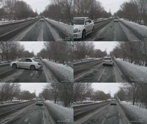 Wait, I've got something to say first. You know how when it snows, it's harder to see? And roads get slippery? Yes? THEN WHY IN THE NAME OF HERMES' CADUCEUS DO PEOPLE STILL DRIVE SO G.D. FAST? For shit's sake, people: slow down.
This first bit is the forecast for Reading/Berks:
Snow Sunday evening, starting about 9pm. Pretty light snow overnight, wrapping up by about 6 or 7am Monday. Accumulation will be 1.65 inches. Roads will be dicey, so widespread two-hour delays are likely (and there may even be isolated closings where the snow lingers).
We could see some snow showers (mixed with sleet at times) between 11am and 7pm on Monday. Expect little or no accumulation during this period, but watch for temporarily reduced visibility and road iceification. (Yes, I just made up that word. Come at me.)
Then the more significant and disruptive storm arrives. Starts snowing in earnest around 9pm Monday night.
By Tuesday morning about 7am, there will be 3.1 inches of snow on the ground, and it will still be snowing. By about noon, expect to see the snow mix with (and briefly change over to) sleet; by mid-afternoon, it will change to all rain. But then in the evening there will likely be some sleet mixing in, and sometime late Tuesday night, it will change back to snow! And that snow doesn't end until maybe 6-7am Wednesday.
Total accumulation from this whole storm (Monday night to Wednesday morning) will be 6.3 inches, but it's the snow-packed roads, untreated surfaces, and the widespread iceification that are going to be the real disruptors here.
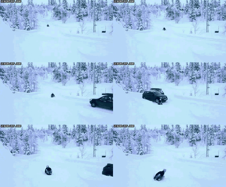
(The salt and brine and whatnot that were applied to various surfaces during our last spate of storms - that all washed away in the rain. So unless that solution was reapplied, don't expect to achieve any traction on said surfaces.)
Expect widespread school closings on Tuesday, and widespread two-hour delays on Wednesday.
So again: school delays likely on Monday and Wednesday; closures likely on Tuesday.
Now let's talk about the Norristown/Montco area:
Snow starts around 10-11pm Sunday night. Light snow wrapping up by about 7-8am Monday. Accumulation 1.56 inches. Dicey roads, widespread school delays (and there may even be isolated closings where the snow lingers).
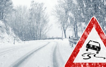
Snow showers (with sleet mixed in at times) between 12 noon and 8pm on Monday. Watch out for the iceification (I made up that word in the Reading/Berks forecast, then decided to use it here again. Object to the coinage? I WILL FIGHT YOU.).
Look for the real storm to arrive (and snow to begin in earnest) by 9-10pm on Monday. By 7am Tuesday morning, there will be 2.45 inches of snow on the ground - and it will still be snowing. By noon, snow will mix with (then change over to) sleet. All rain by late afternoon and into the evening, then mixed with sleet, and then back to snow! Daaaaamn.
Snow ends by 7-8am Wednesday morning.
Total accumulation (Monday night to Wednesday morning) will be precisely 5.5 inches, but expect more disruption from the snow-packed roads, untreated surfaces, and widespread iceification.
(The salt and brine and whatnot that were applied to various surfaces during our last spate of storms - that all washed away in the rain. So unless that solution was reapplied, don't expect to achieve any traction on said surfaces.)
Expect widespread school closings on Tuesday; some two-hour delays on Wednesday.
So again: school delay likely on Monday, widespread closures on Tuesday, and some delays on Wednesday.
Update for Tuesday and Wednesday.
Reading/Berks first:
Snow starts 6-7am Tuesday. Snow is steadiest between about 10am and 4pm. All over by 7-8pm. Accumulation, 3-5 inches. Monsoon Martin's You Bet Your Asscast Guarantee©®™ - snow days for everyone!
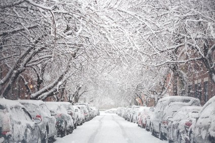
Most treacherous travel is in the afternoon and evening.
Some leftover snow squalls on Wednesday, particularly in the afternoon. Throughout the day, temps will plunge and winds will kick up. MMYBYAG©®™ - 40% chance of delay; 5% chance of cancellation.
Low of -2 on Wednesday night, so thanks a pantload, Mother Nature.
And on Thursday it will only get up to 9 (yes, NINE) with negative wind chills. I would give it 25% for delays on Thursday.
Now Norristown/Montco:
Snow starts 9-10am Tuesday. Mixes with (and, for a time, changes to) rain in the afternoon, then changes back to snow for the period of about 6-10pm. Accumulation, 1-3 inches. Roads should be OK during the day - just slushy. But in the evening and overnight, slippy. MMYBYAG©®™ - cancellation chances are slim.
Wednesday will see snow showers and increasing winds, but little to no accumulation or travel impact. MMYBYAG©®™ - 15% chance of delay.
And on Thursday temps will be a few degrees higher than Berks, so whoop-de-frickin-doo.
Stay tuned for updates!
End of January 2019.
Here is the weather. Sunday through Sunday? Sound good? Good.
Reading/Berks weather will be presented first. [Norristown/Montco weather will be presented in brackets.]
Let's start with Sunday 1/27, shall we?
Mostly cloudy and milder, but kinda windy. So the high will be 44, but it will feel like 36. Overnight temperatures will get down to 22. [Partly to mostly cloudy. High 46, feels like 41. Overnight low 24.]
What about Monday 1/28? I will tell you.
Partly cloudy. High 35. Slight breeze. Low 25. [Mostly sunny. High 38. Slight breeze. Low 26.]
And Tuesday 1/29? Patience. Don't vex me.
Starts off cloudy and windy. Maybe a stray rain or snow shower in the afternoon. As temperatures plunge, we'll get a litta bitta snow. 1-2 inches. Nothing crazy. High 43, low 18. [Cloudy and windy with rain showers in the afternoon. Wet snow and/or rain at night. Coating to an inch. High 45, low 20.]
What about Wednesday 1/30? I will turn this car around, I shit you not.
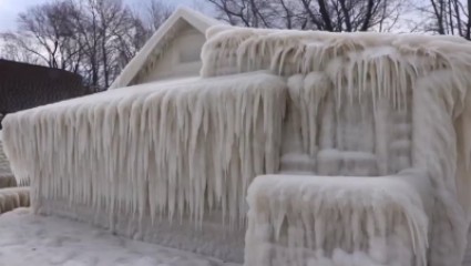 This will be your face.
This is where it gets cold as balls. What's colder than "cold as balls"? Cold as ball. (One froze off.)
Mostly sunny and really, really cold. High 21 (feels like 6 cuzza the wind), low -2 (feels like -11, same reason). [Sunny and windy. High 25 (feels like 12), low 4 (feels like -5).]
Surely Thursday 1/31 will be more hospitable? It will not. You will very nearly freeze to death.
Sunny, windy, bitterly cold. High 15 (feels like 3), low 3 (feels like -5). [Sunny, windy, bitterly cold. High 18 (feels like 5), low 7 (feels like -2).]
Mostly sunny and breezy on Friday 2/1 (DON'T EVEN). High 20 (feels like 12), low 7 (feels like 3). [Same. High 26 (feels like 17), low 10 (feels like 7).]
But will the weekend be nicer? Stop whining.
Plenty of sunshine, highs in the upper 20s, lows in the low to mid teens. Still pretty breezy. [Samesies. Highs in the upper 20s to low 30s. Lows in the upper teens to mid 20s.]
It might snow on Monday 2/4. I'm on it. Will report back.
Stay tuned for updates!
