Two Mid-February Jawns.
Right to it, because I'm mad late to this party.
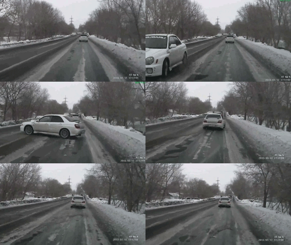
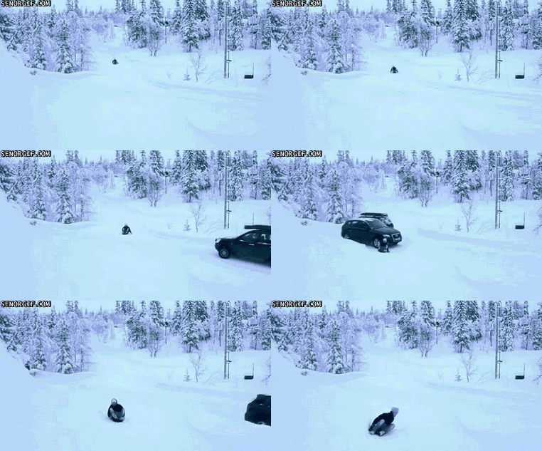
 Wait, I've got something to say first. You know how when it snows, it's harder to see? And roads get slippery? Yes? THEN WHY IN THE NAME OF HERMES' CADUCEUS DO PEOPLE STILL DRIVE SO G.D. FAST? For shit's sake, people: slow down.
This first bit is the forecast for Reading/Berks:
Snow Sunday evening, starting about 9pm. Pretty light snow overnight, wrapping up by about 6 or 7am Monday. Accumulation will be 1.65 inches. Roads will be dicey, so widespread two-hour delays are likely (and there may even be isolated closings where the snow lingers).
We could see some snow showers (mixed with sleet at times) between 11am and 7pm on Monday. Expect little or no accumulation during this period, but watch for temporarily reduced visibility and road iceification. (Yes, I just made up that word. Come at me.)
Then the more significant and disruptive storm arrives. Starts snowing in earnest around 9pm Monday night.
By Tuesday morning about 7am, there will be 3.1 inches of snow on the ground, and it will still be snowing. By about noon, expect to see the snow mix with (and briefly change over to) sleet; by mid-afternoon, it will change to all rain. But then in the evening there will likely be some sleet mixing in, and sometime late Tuesday night, it will change back to snow! And that snow doesn't end until maybe 6-7am Wednesday.
Total accumulation from this whole storm (Monday night to Wednesday morning) will be 6.3 inches, but it's the snow-packed roads, untreated surfaces, and the widespread iceification that are going to be the real disruptors here.

(The salt and brine and whatnot that were applied to various surfaces during our last spate of storms - that all washed away in the rain. So unless that solution was reapplied, don't expect to achieve any traction on said surfaces.)
Expect widespread school closings on Tuesday, and widespread two-hour delays on Wednesday.
So again: school delays likely on Monday and Wednesday; closures likely on Tuesday.
Now let's talk about the Norristown/Montco area:
Snow starts around 10-11pm Sunday night. Light snow wrapping up by about 7-8am Monday. Accumulation 1.56 inches. Dicey roads, widespread school delays (and there may even be isolated closings where the snow lingers).

Snow showers (with sleet mixed in at times) between 12 noon and 8pm on Monday. Watch out for the iceification (I made up that word in the Reading/Berks forecast, then decided to use it here again. Object to the coinage? I WILL FIGHT YOU.).
Look for the real storm to arrive (and snow to begin in earnest) by 9-10pm on Monday. By 7am Tuesday morning, there will be 2.45 inches of snow on the ground - and it will still be snowing. By noon, snow will mix with (then change over to) sleet. All rain by late afternoon and into the evening, then mixed with sleet, and then back to snow! Daaaaamn.
Snow ends by 7-8am Wednesday morning.
Total accumulation (Monday night to Wednesday morning) will be precisely 5.5 inches, but expect more disruption from the snow-packed roads, untreated surfaces, and widespread iceification.
(The salt and brine and whatnot that were applied to various surfaces during our last spate of storms - that all washed away in the rain. So unless that solution was reapplied, don't expect to achieve any traction on said surfaces.)
Expect widespread school closings on Tuesday; some two-hour delays on Wednesday.
So again: school delay likely on Monday, widespread closures on Tuesday, and some delays on Wednesday.

Reader Comments