
Snow update for Mon 1/15 through Wed 1/17
We have increasing clouds (and even a few flurries!) already, so I figured it was time for an update.
Overnight from Monday into Tuesday, there's a slight chance of snow showers. Look for these anytime between 2am and 10am Tuesday. They'll be light and widely scattered. No accumulation or impacts.
The second "round" is the most consequential: snow begins by 1pm, continuing on and off till evening. Expect an inch or two of accumulation and slippery travel. May have some early dismissals and evening activities cancelled, that sort of thing.
And then "round three" is the potential for a bit of Wednesday morning snow, but right now this seems like a miss. Stay tuned for updates.
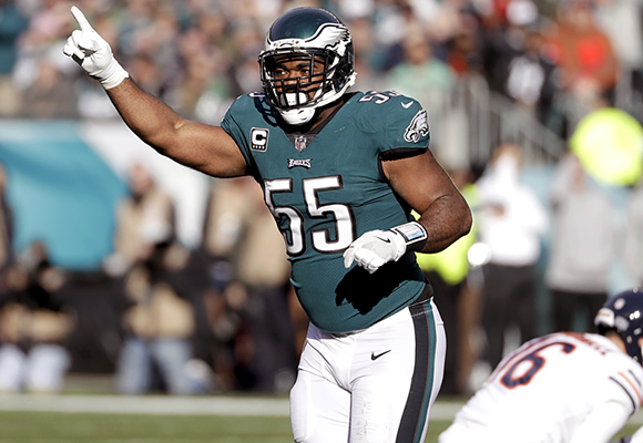 Brandon Graham #55 - one of the main reasons the Eagles are in the NFC Championship.
 Monsoon Martin
Follow up:
Percentages! I will do percentages this time for K-12 and for postsecondary (colleges and universities).
Tuesday cancellation - K-12 17.44% - POST 5.41%
Tuesday early dismissal / partial cancellation - K-12 31.59% - POST 27.88%
Wednesday delay / partial cancellation - K-12 73.41% - 64.55%
Wednesday cancellation - K-12 42.32% - POST 19.53%
Thursday delay / partial cancellation - K-12 11.57% - POST 3.47%
Upper 30s by Friday.
40s on Saturday.
50s on Sunday / Monday.
Next good chance for wintry weather: 1/31 through 2/3.
Monsoon Martin
Update to the update - 8:35pm
Have nudged a couple of my percentages slightly upward.
Tuesday cancellation - K-12 19.48% - POST 6.77%
Tuesday early dismissal / partial cancellation - K-12 54.54% - POST 32.99%
Wednesday delay / partial cancellation - K-12 79.41% - 68.55%
Wednesday cancellation - K-12 44.32% - POST 22.53%
Thursday delay / partial cancellation - K-12 11.57% - POST 3.47%
 Post a Comment
 View Printer Friendly Version
 Email Article to Friend
Reader Comments